

America's Waterways: The Bonnet Carre Spillway
At look at the numbers surrounding one of America's most important flood control structures, the Bonnet Carre Spillway.

What is a spillway?
Britanica defines a spillway as a “passage for surplus water over or around a dam when the reservoir itself is full.” The tools are used throughout the world and range widely when it comes to specific purposes, designs and functions.
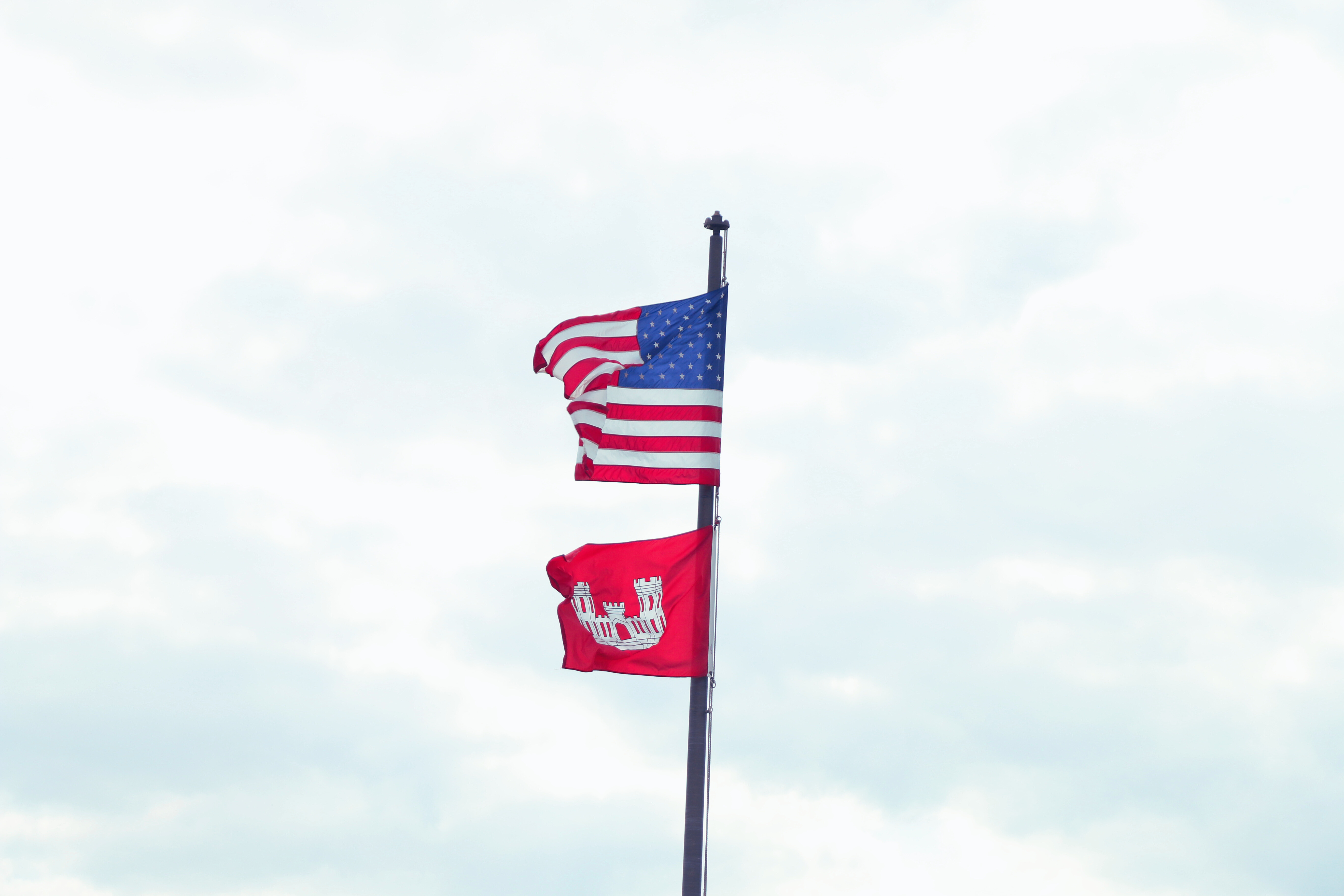
One of America’s most important spillways, the Bonnet Carre, is located in Louisiana.
Bonnet Carre Spillway History
Construction on the Bonnet Carre’ project began in 1929 and was a response to the Great Mississippi Flood of 1927. To date, that event is identified as the country’s most destructive river flood. Around 27,000 square miles of land were overrun by the waters, with maximum depths reported to have reached 30 feet. The flooding took place over the course of several of 1927’s early months and the full price tag is pegged between $3.5 billion and $14.1 billion, in 2023 dollars.
The devastation prompted the U.S. Congress to pass the Flood Control Act of 1928. The legislation was ratified on May 18 and we’re quickly approaching its 97th anniversary. The Flood Control Act tasked the Army Corps of Engineers with the beefing up the nation’s flood control and mitigation systems, particularly in the South. One of the largest undertakings of the new effort was the Mississippi River and Tributaries project, which included the construction of the Bonnet Carre Spillway.
Geographic Context
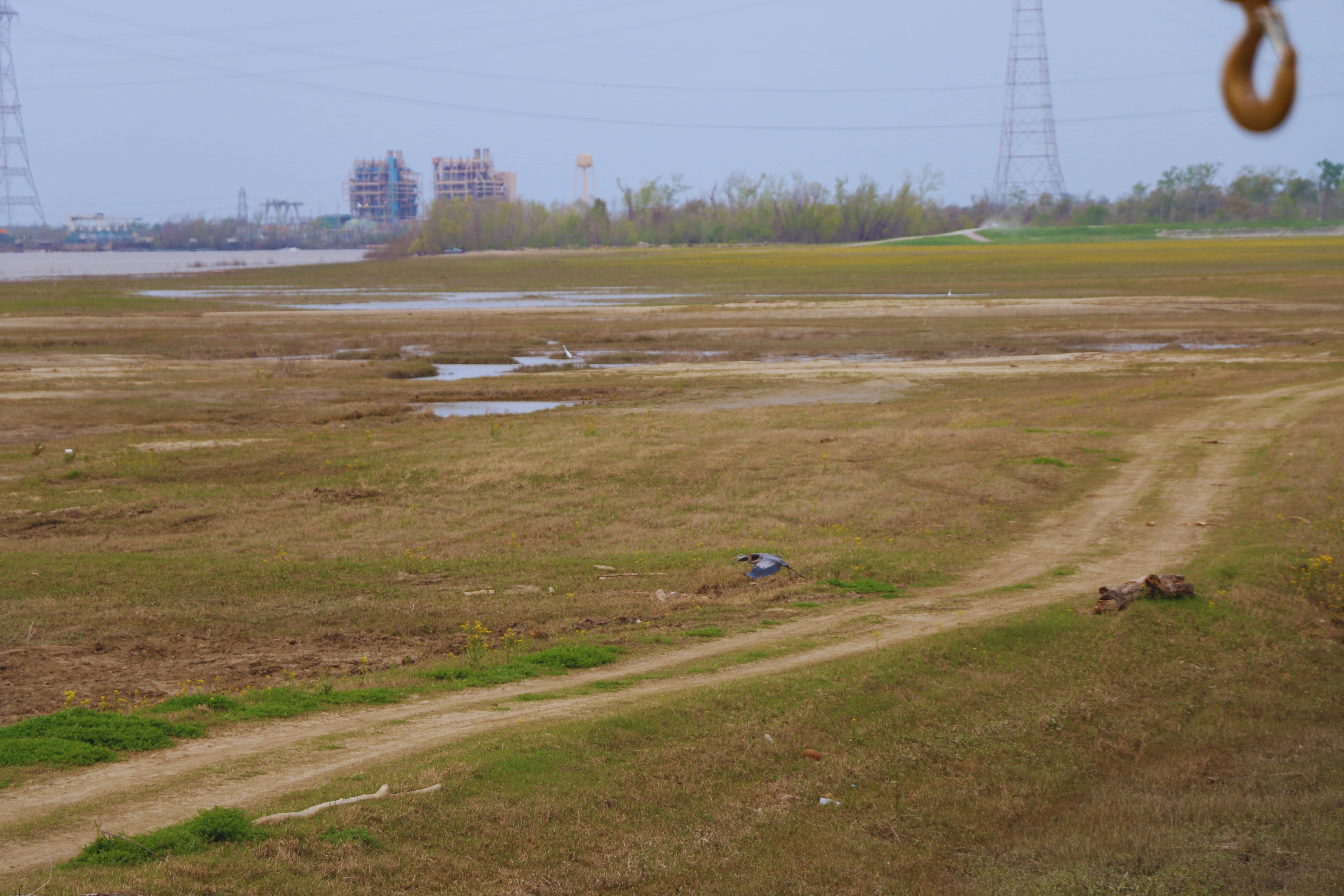
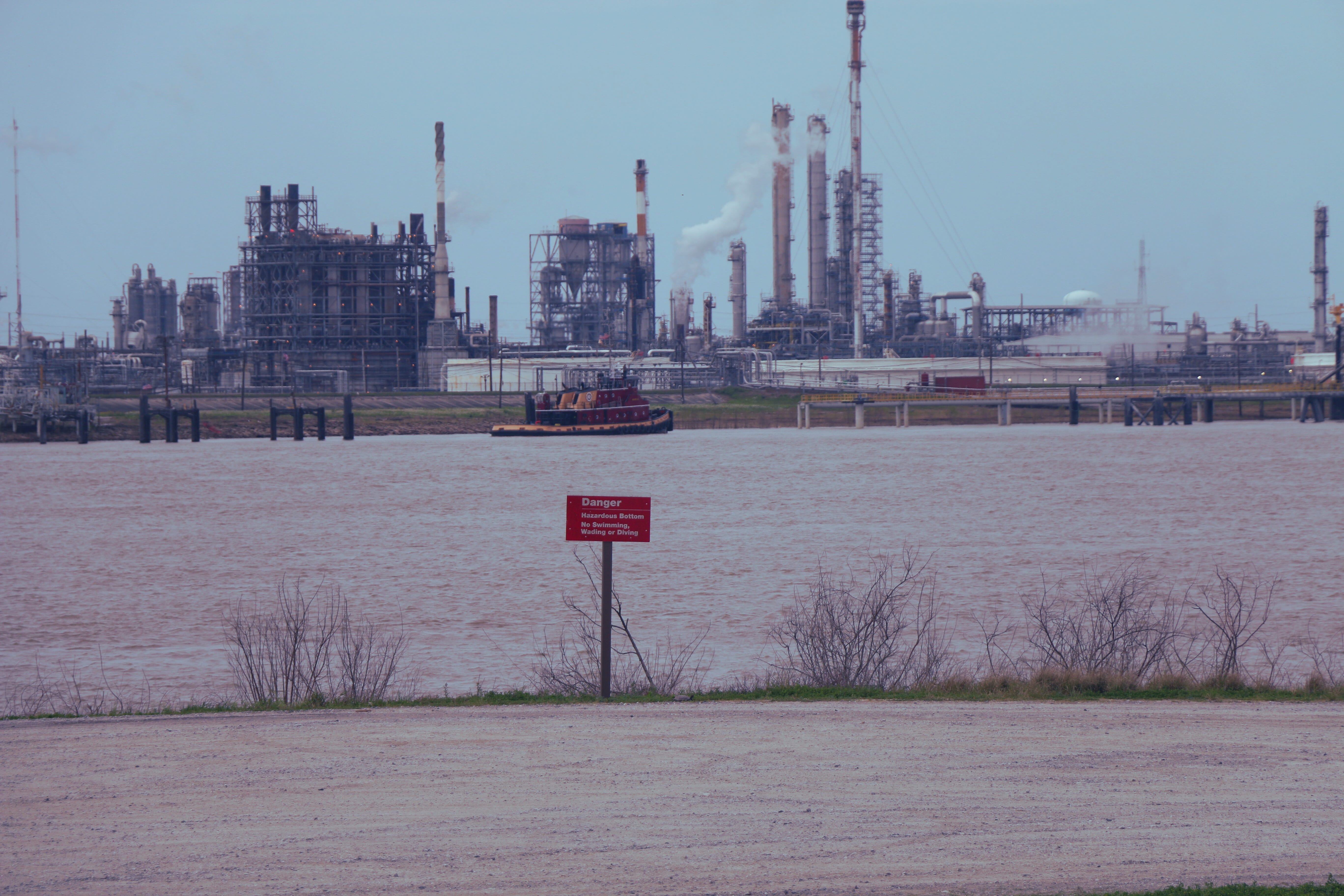
Before digging deep into the numbers surrounding the Spillway, let’s lay out some more context. The project is located in Louisiana’s St. Charles parish. The parish is nestled between Jefferson parish to the east and St. John the Baptist parish to the west. It’s establishment dates back to 1807 with its primary focus being sugarcane cultivation during the early days. Presently, the St. Charles parish community is dominated by the energy industry and other activities that make use of its unique geographic placement along some of the country’s most important waterways and roadways.
Its total land area is 411 square miles, with 279 square miles (67%) being land and 132 square miles (33%) being water. Its 2020 Census population estimate is 52,549 residents.
In the larger scheme of things, the Bonnet Carre Spillway sit in the heart of Louisiana’s population and economic centers. It is 62 miles southeast of Baton Rouge, Louisiana’s capitol and second largest city. The Spillway is approximately 27 miles west of New Orleans and just on the edge of what most consider the New Orleans metro area.
Recreational Uses
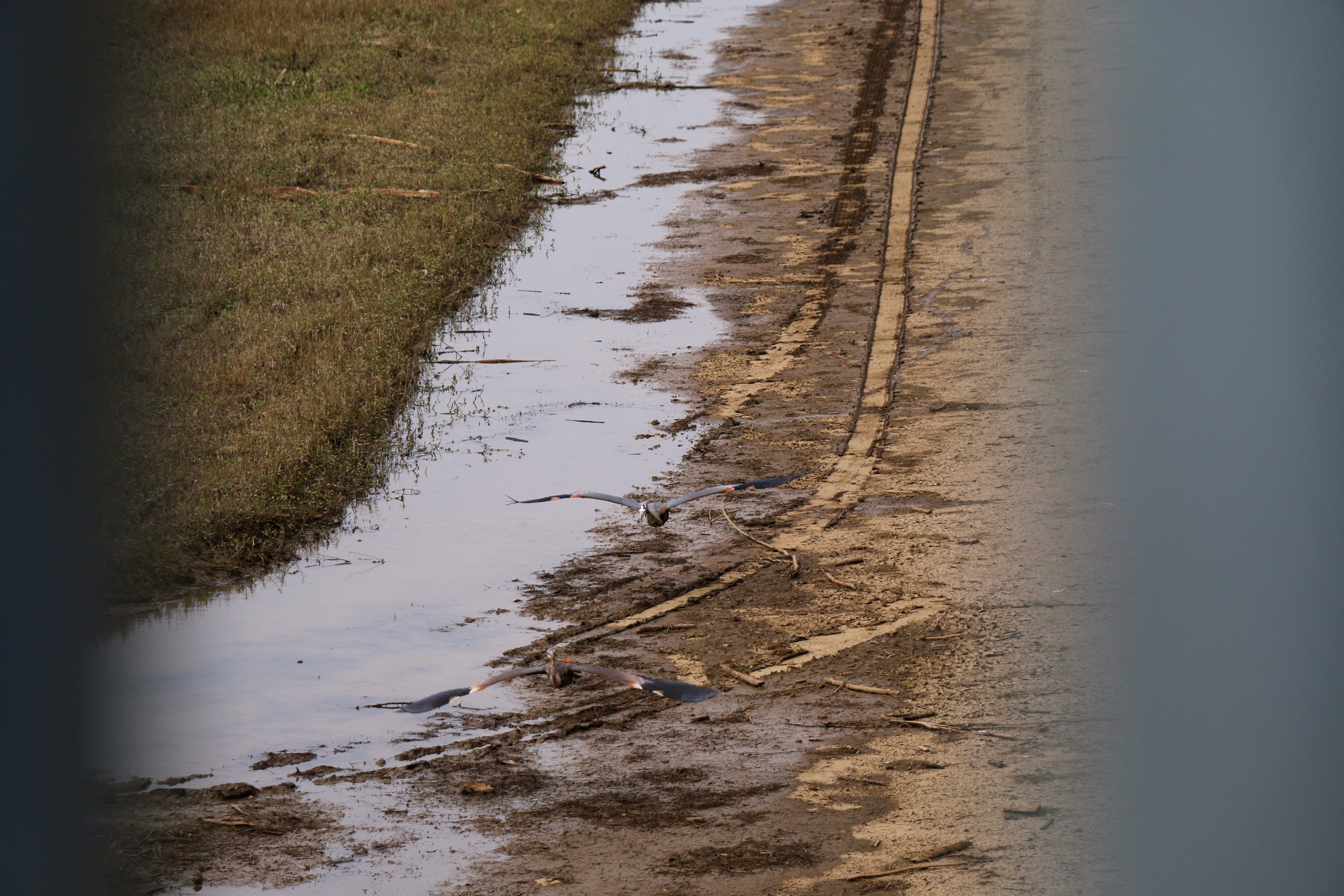
And while the Bonnet Carre Spillway’s primary purpose is flood control it serves many other important purposes when not fulfilling its official duties. The Spillway fully embodies Louisiana’s “Sportsman’s Paradise” nickname. The Corps of Engineers estimates that 400,000 folks visit the Spillway every year to take advantage of the natural environment. They flock to the area for a bunch of different reasons, ranging from crawfishing to flying model airplanes.
Current Situation and Historical Openings
But the Bonnet Carre is currently receiving a lot of attention because it appears that the recreational uses will have to take a back seat to the flood control responsibilities. The Mississippi River is projected to reach 16.5 feet in New Orleans and the Corps is scheduling a test opening on Monday, April 21st in preparation for a partial opening of the structure.
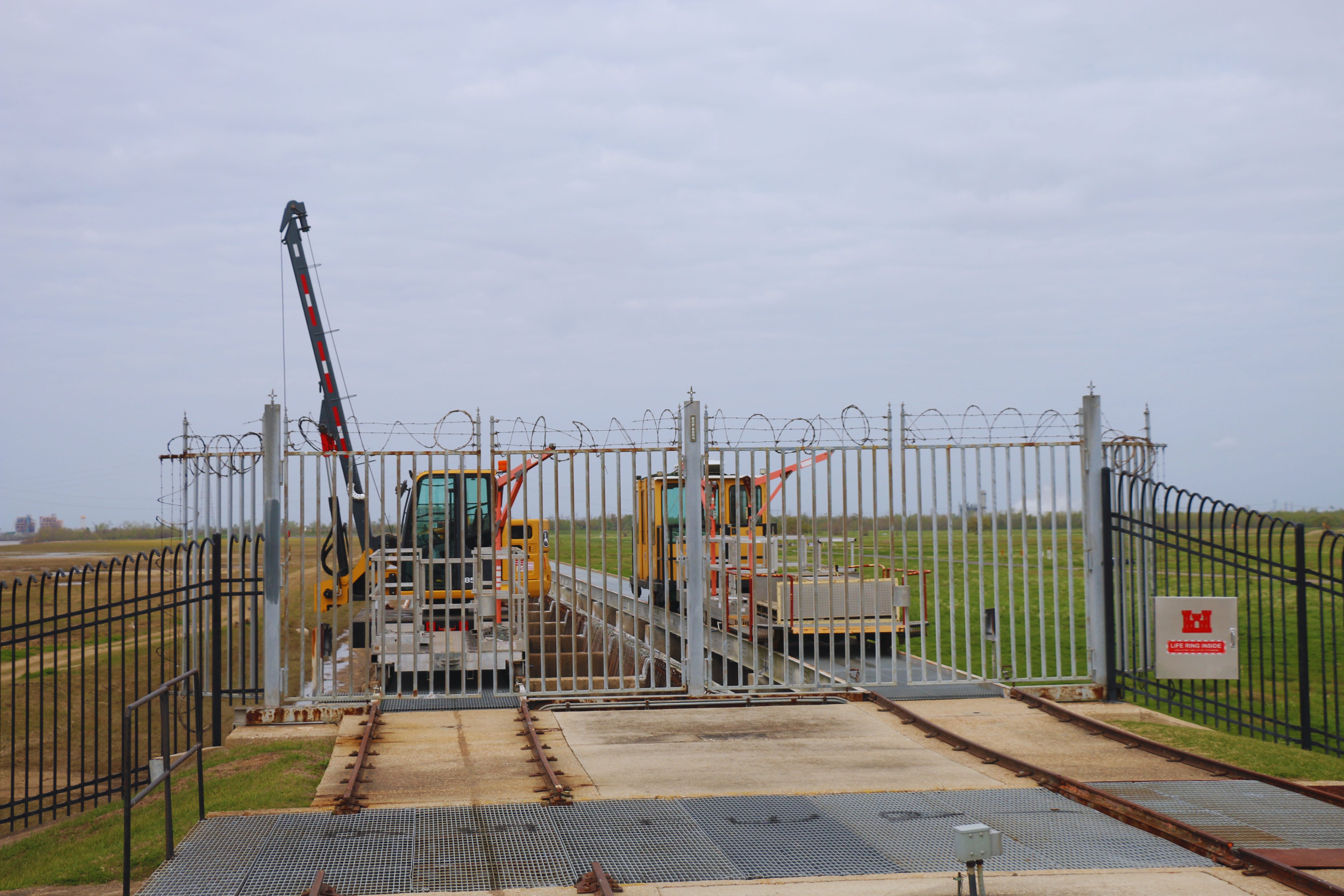
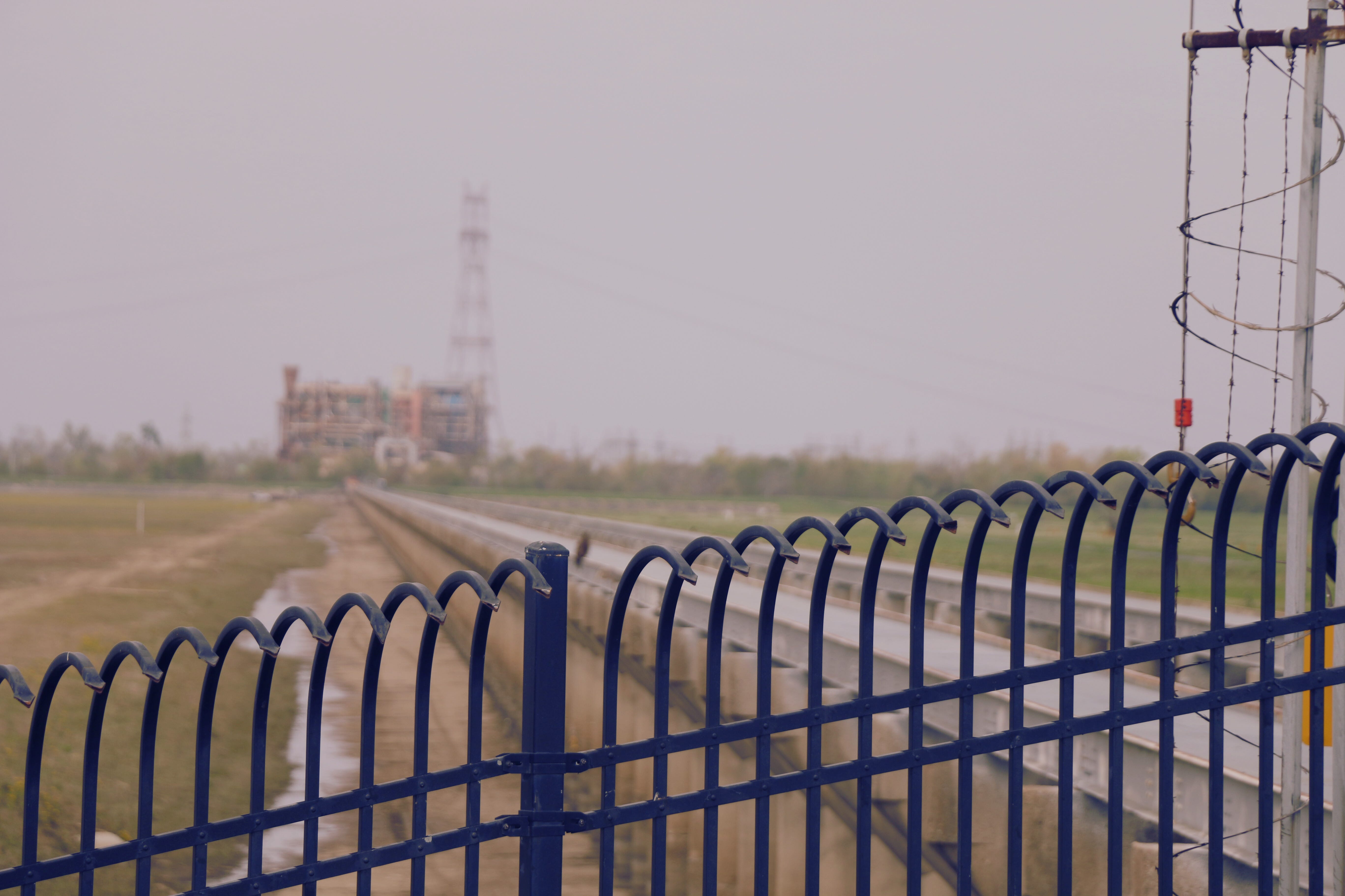
The Spillway’s primary control structure was completed in 1931. The system of levees that support the flood mitigation activities was completed in 1932 and the highway and railroad accommodations were finished in 1936.
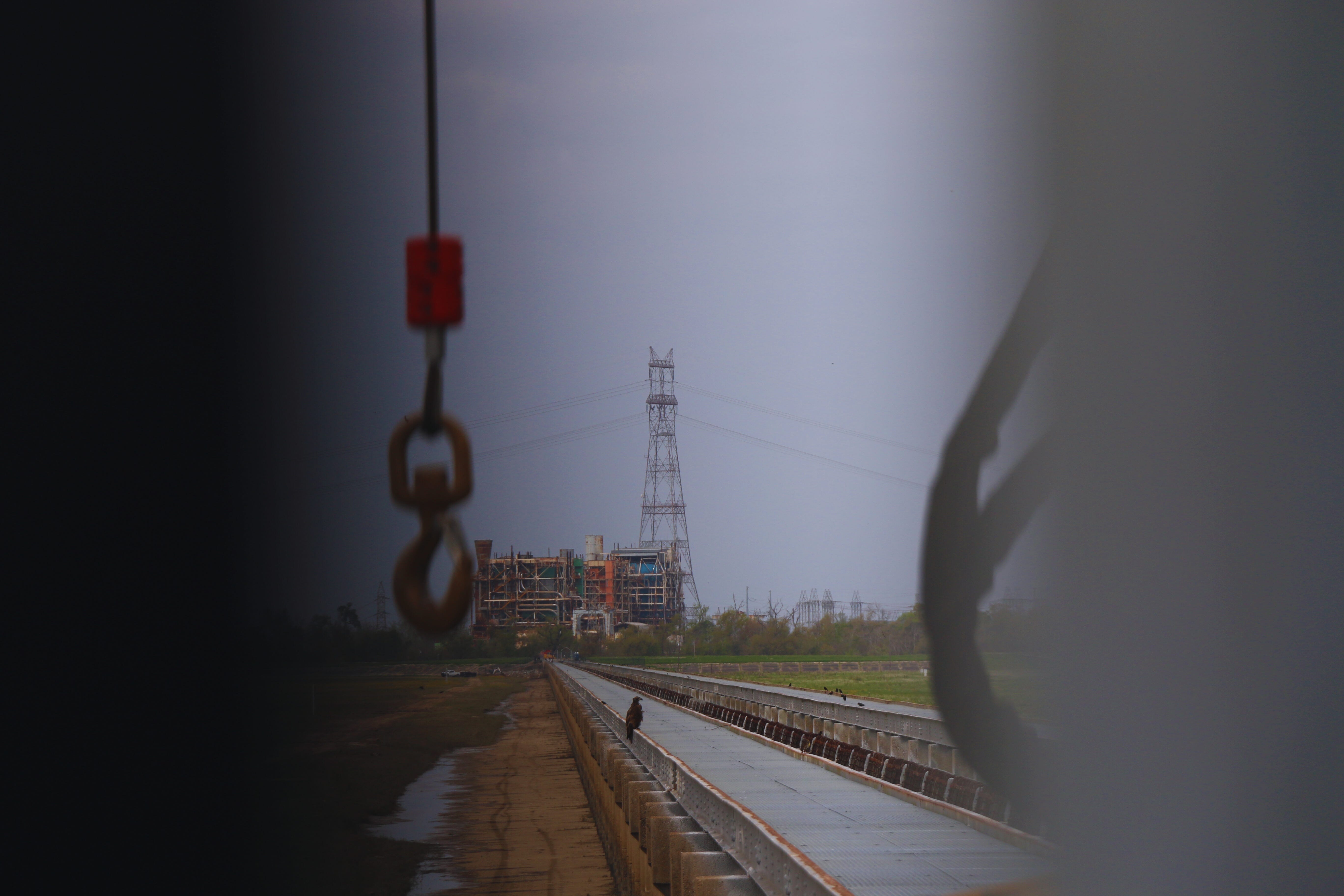
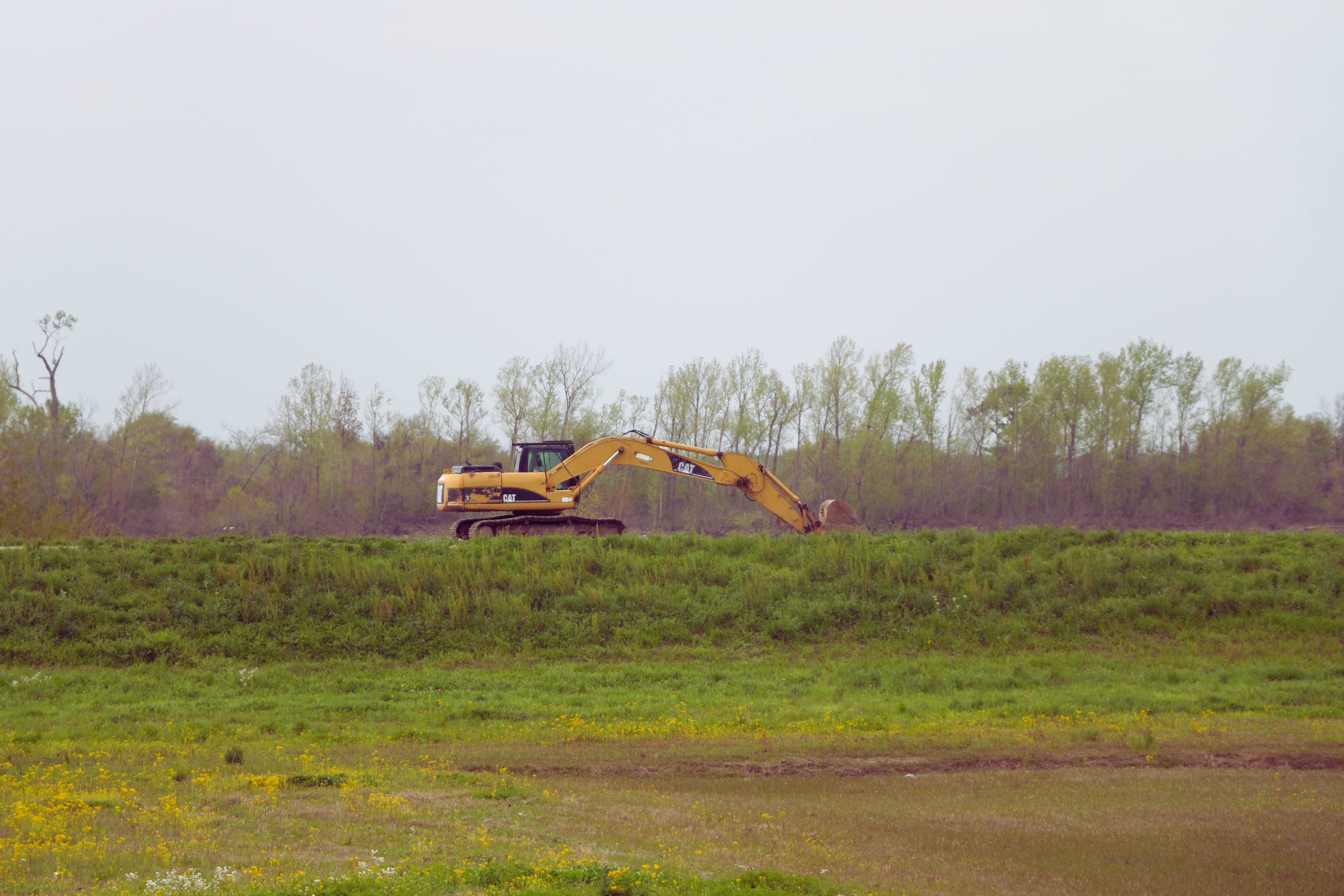
The structure is 7,000 feet long and consists of 350 bays, with each being about 20 feet wide. Two-foot wood concrete piers provide the structure with a lot of its strength and the 20 timber needles per bay are the “toggle switches” for the flood control mechanism. During a full removal of all the needles in the bays, the Bonnet Carre Spillway can facilitate the movement of 250,000 cubic feet of water per second. The Army Corps of Engineers is only prepping for a partial opening but there have been many occasions when the Spillway was called up to full duty.
Between 1937 and today, the Bonnet Carre has been opened 15 times for flood control.


Early Years
It was first put to the test in 1937, ten years following the Great Flood and six years after the control structure was completed. The inaugural opening was only partial, involving 285 opened bays (81.4% of total capacity), across a 48-day period. There were two, subsequent full openings in 1945 and 1950 that lasted for 57 days and 38 days, respectively.

Middle Years
The Spillway was opened five times between 1973 and 1997. All but two of those were full openings ranging from 35 days (1983) to 75 days (1973). In 1975, there was a short opening of 225 bays (64.3% of total capacity) for 13 days. And in March of 1997 298 bays (85.1% of total capacity) were opened for 31 days.

Recent Years
Since the late 2000s, the Bonnet Carre Spillway has been utilized much more frequently. There have been seven openings between 2008 and 2020. Those seven activations account for close to 50% of all the Spillway’s historical openings.

While the frequency has ticked up, the utilized capacity has varied a lot more than during the structure’s early and middle periods. On average, 192 bays have been opened during recent activations. 2011 was a standout year, when the Corps opened 330 (94.3%) of the Spillway’s bays for 42 days. They opened 206 (85.2%) in February of 2019 for 43 days and 210 (81.2%) for 22 days in January of 2016.
The 2018, second 2019, 2008 and 2020 openings were on the lower end of the utilization spectrum. In 2018, the Corps opened 183 bays (78.4% of total capacity) and in May 2019 they opened 168 bays (64.4% of total capacity). 2019 proved to be the most active year for the Spillway and across both activations, the structure was opened for a combined 122 days.
The 2008 activation included only 160 bays (45.7% of total capacity) for 31 days. And the most recent Spillway opening in April of 2020 involved 90 bays (36% of total capacity) for 29 days.
The Mississippi River and the entire system of Gulf Coast waterways march to the beat of their own drums. But it looks like we’ll find out pretty soon if the Bonnet Carre Spillway will be called to “keep them in check” during 2025.